Navigation across Zagreb
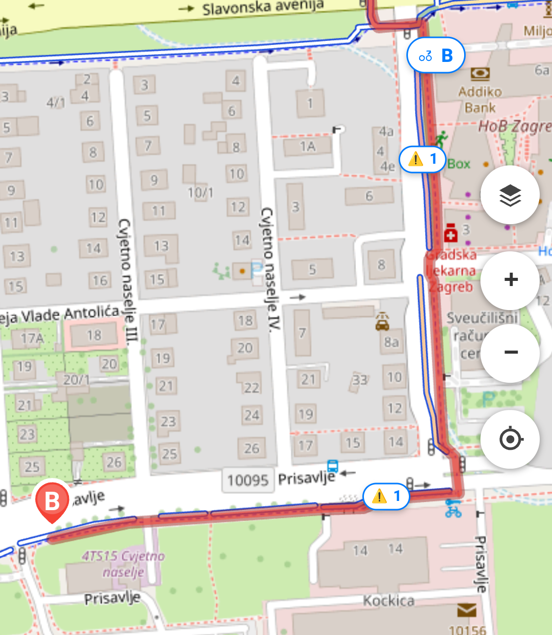
Plan a cycling route through the city with priority given to the existing bike network, and a clear view of your start, destination and path.
Plan a route, follow the bike network and help flag the sections that need fixing. BajsRoute is built on the City of Zagreb's open data and on feedback from cyclists.

BajsRoute combines navigation with community data to make cycling in Zagreb safer and more pleasant.
Plan a cycling route through the city with priority given to the existing bike network, and a clear view of your start, destination and path.
Users can rate individual sections and help others pick more pleasant and safer ways across the city.
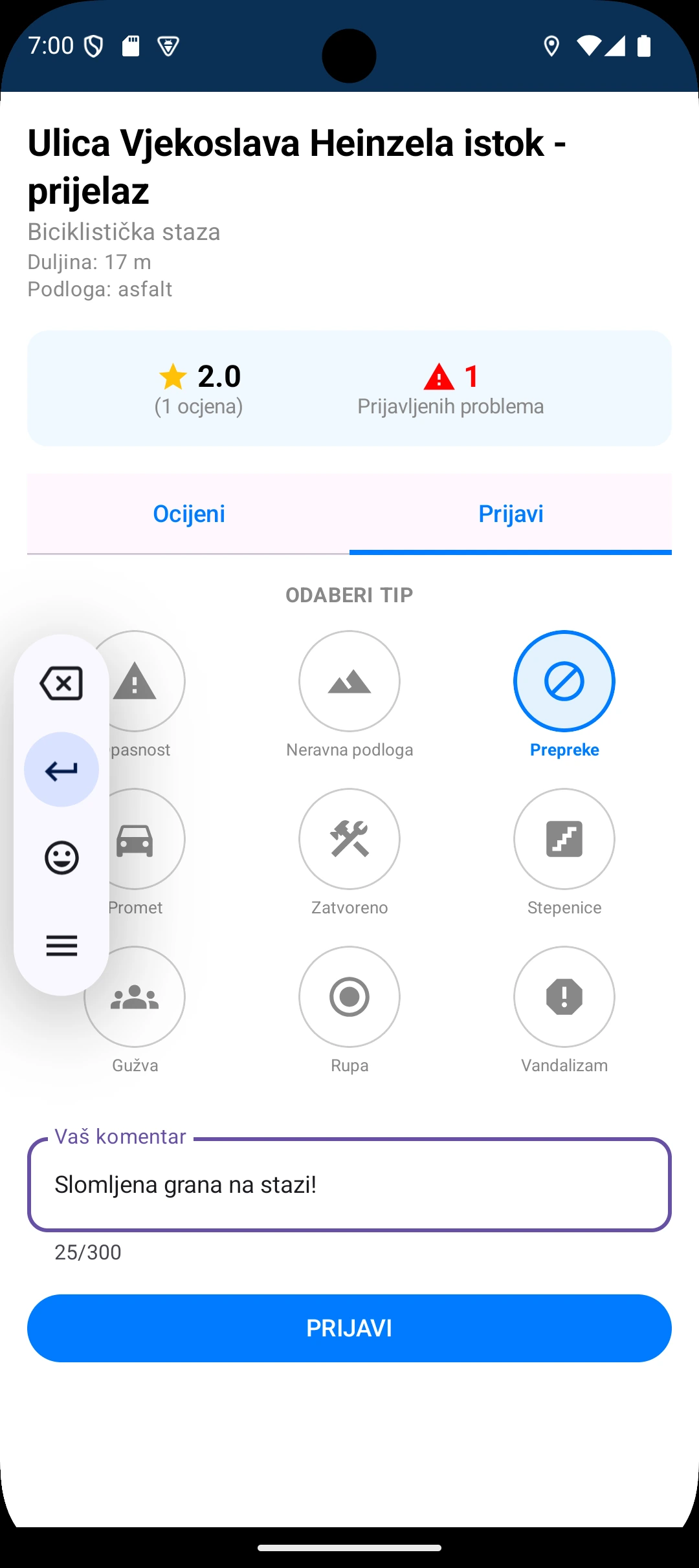
Damage, dangerous spots and dead ends can be flagged directly on a section of the path, which makes the data more useful for everyone.
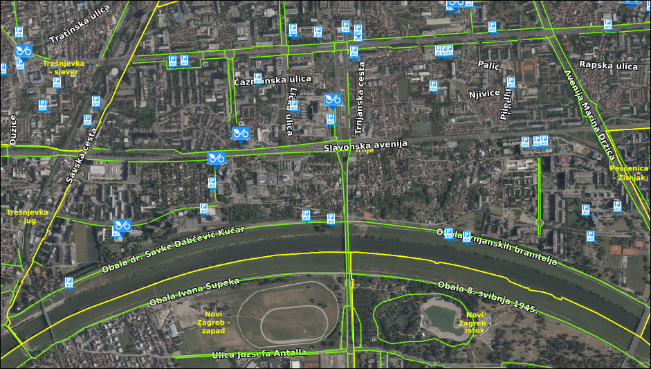
See the Bajs public bike-share stations – with the number of bikes available right now – and bicycle parking near your route.
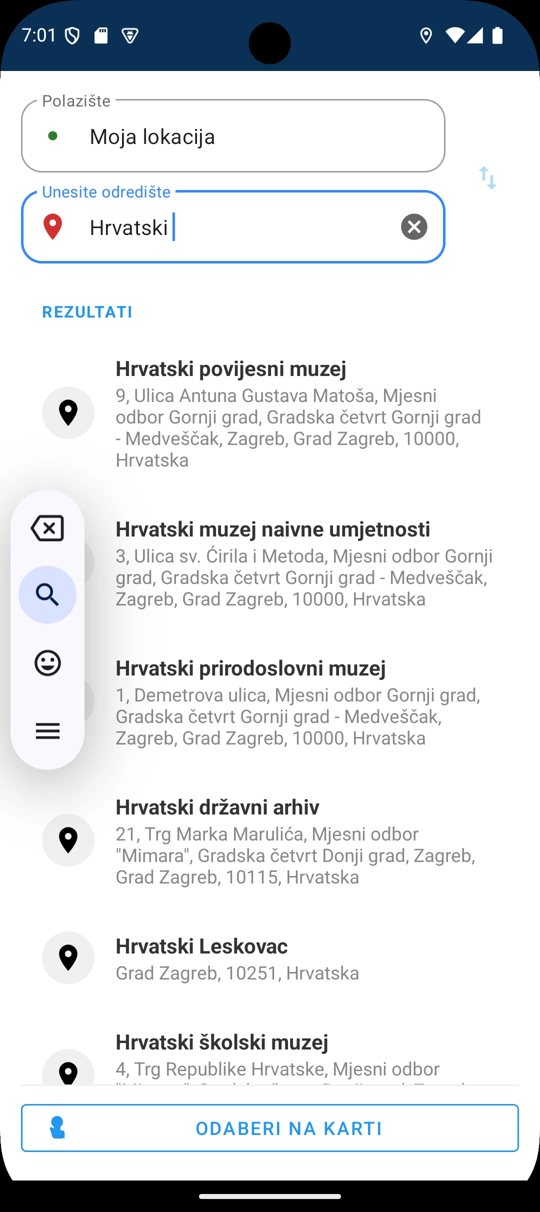
From picking a destination to reporting a problem – in four steps.
Enter an address or drop a point on the map, and review the suggested cycling route.
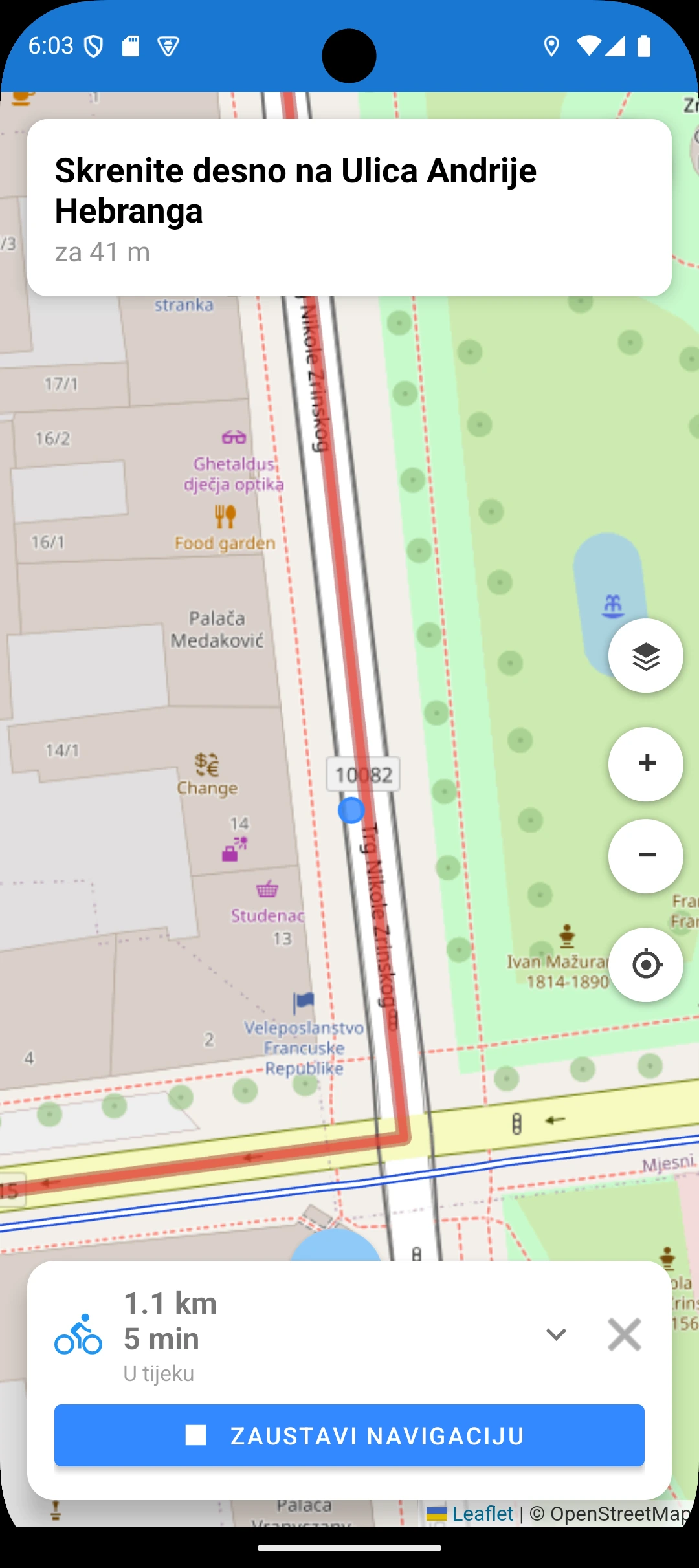
The app shows your path, the distance and the essentials while you ride.
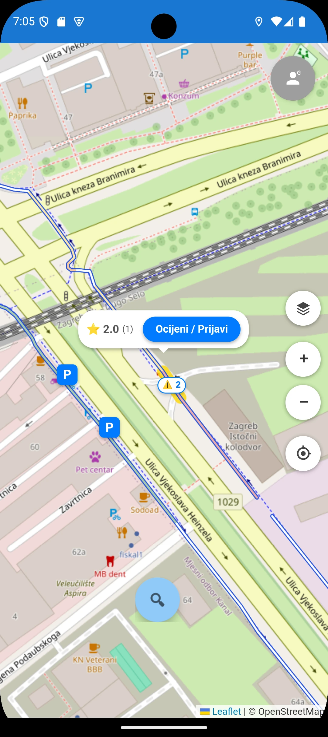
After the ride, select a section to rate the quality and safety of the path, and add a comment if you like.
Flag damage, a hazard or a dead end so the data becomes more useful to cyclists and to the City of Zagreb.
Designed for Zagreb, with everything you need for a safe and pleasant ride.
BajsRoute takes the City of Zagreb's open data on bike paths, Bajs stations and bicycle parking and turns it into a practical navigation tool – supplemented with live bike availability (with the permission of the Bajs system operator) and with what cyclists find on the ground.
BajsRoute connects cyclists, the city and the wider community in the effort to build better cycling infrastructure.
BajsRoute collects cyclists' ratings and reports on the state of individual sections. The city gets a structured view of the quality of its network.

The app combines navigation with the experience of other cyclists, so every ride is better informed.
Every rating and report adds to the body of knowledge about Zagreb's cycling infrastructure – available to everyone.
Be among the first to use BajsRoute for a safer and more pleasant ride across Zagreb. Free, simple and built on open data.